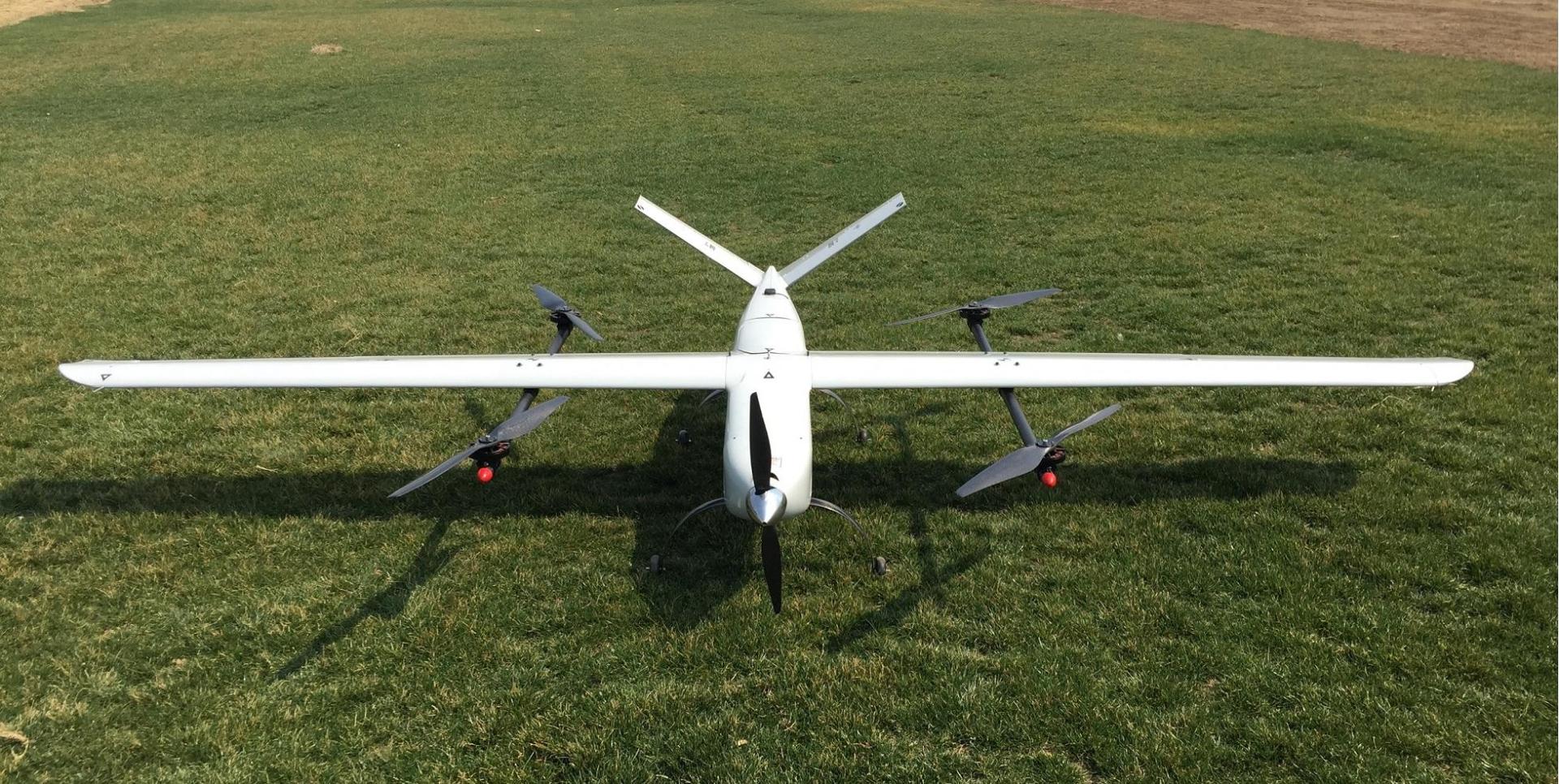
This product features a long-lasting battery life and an extended flight range. It is used to comprehensively and rapidly understand the terrain, topography, hydrology, meteorology, and other information of the target area. It can be equipped with high-resolution aerial cameras and mapping pods to conduct mapping scans of the mission area, transmit data and images, and process data to promptly provide geographic spatial information of the region.


 Chinese|English